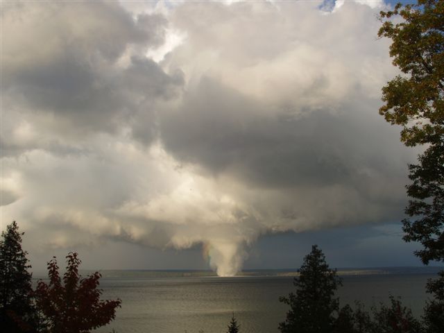
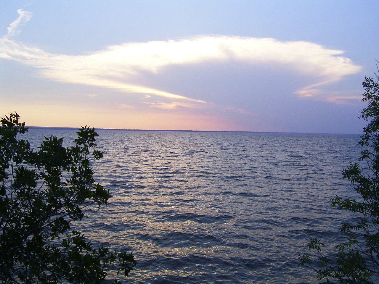
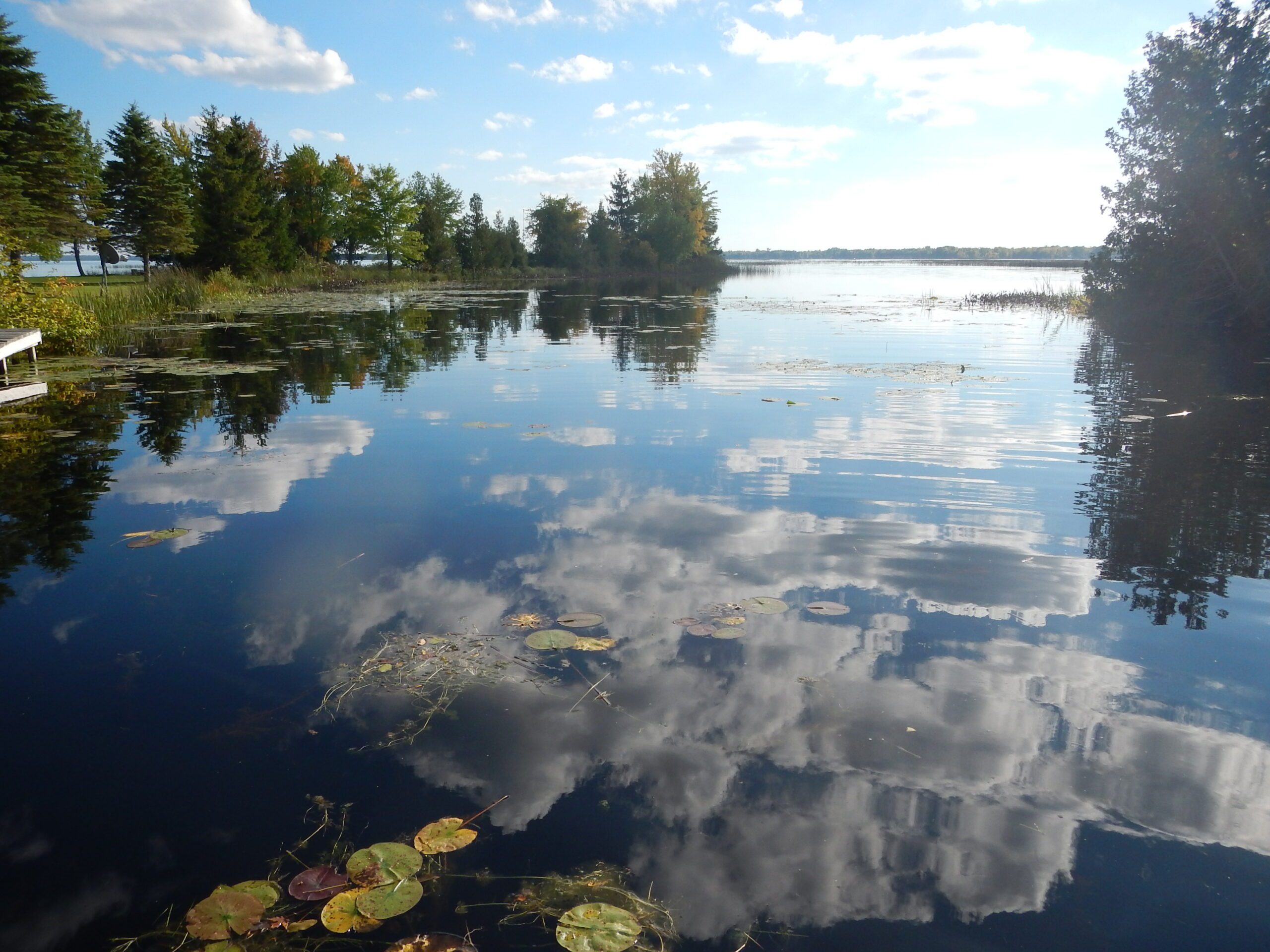
fbpx
Search
Close this search box.
Protecting Northern Michigan's ​Water Resources

Black Lake

Black Lake is one of the largest lakes in the Tip of the Mitt Watershed Council service area. In terms of surface area (>10,000 acres), Black Lake is the 9th largest inland lake in the State of Michigan.

10,143 acres

OF SURFACE AREA

19 miles

OF SHORELINE

50 feet

MAX DEPTH

Overview of Black Lake

Watershed

Primary Inflows

Headwaters

Primary Outflows

Surface Area

10,143 acres

Shoreline

19 miles

Maximum Depth

50 feet

Known Aquatic Invasive Species

About Black Lake:

Black Lake is one of the largest lakes in the Tip of the Mitt Watershed Council service area. In terms of surface area (>10,000 acres), Black Lake is the 9th largest inland lake in the State of Michigan. It is located in the northeast corner of the Lower Peninsula, in both Cheboygan and Presque Isle Counties. Although not pronounced, there are two distinguishable basins in Black Lake; the northwest end characterized by broad shallow areas that deepen gradually while the southeast end is much deeper, wider and has a more pronounced drop-off, particularly on the western side.

The largest inlet to Black Lake is the Upper Black River, which flows in on the west side just north of Five-mile Point. The next largest tributary is the Rainy River, which enters in the southeast corner of the lake. Several smaller streams, including Stony, Stewart, and Fisher Creeks in the south, Mud Creek in the west and Cain’s Creek to the north, also flow into Black Lake. These rivers and streams deliver great quantities of dark tannin-stained waters that give the lake its name. Tannins are natural, coming from plants, and do not pose a threat to water quality. The only outlet from the lake is the Lower Black River, which empties out of the northwestern corner of the lake.

Kayaking on Black Lake

Recreational Access & Use

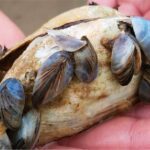
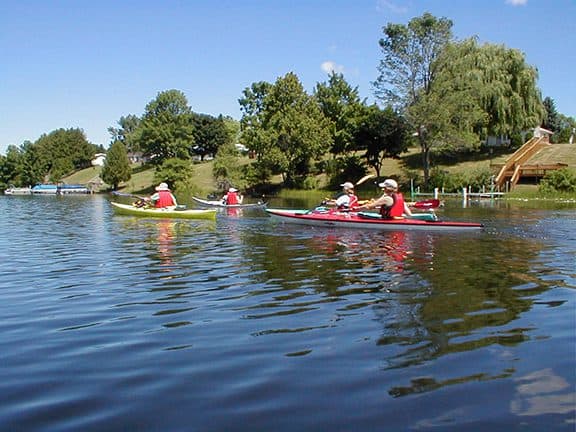
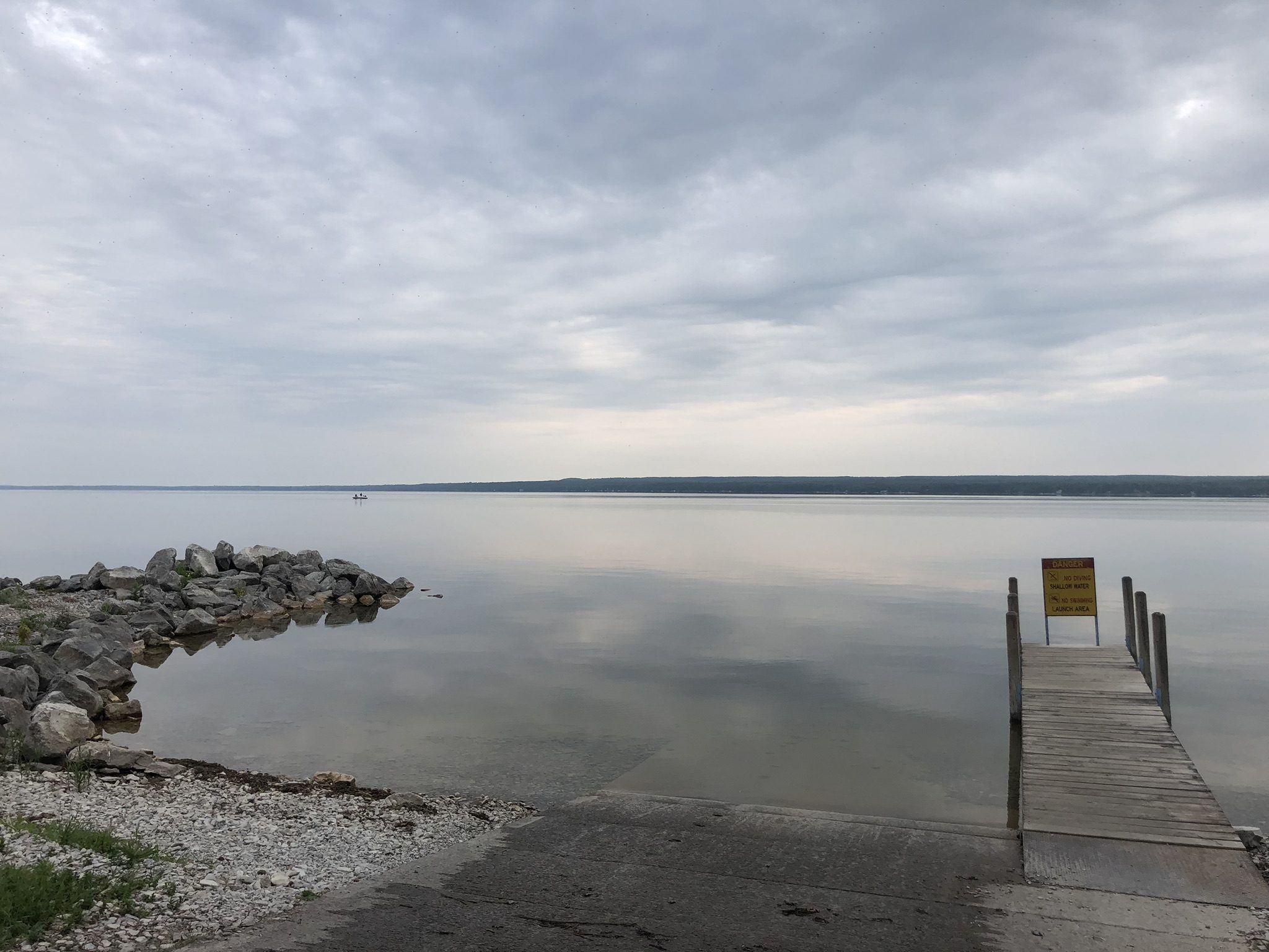
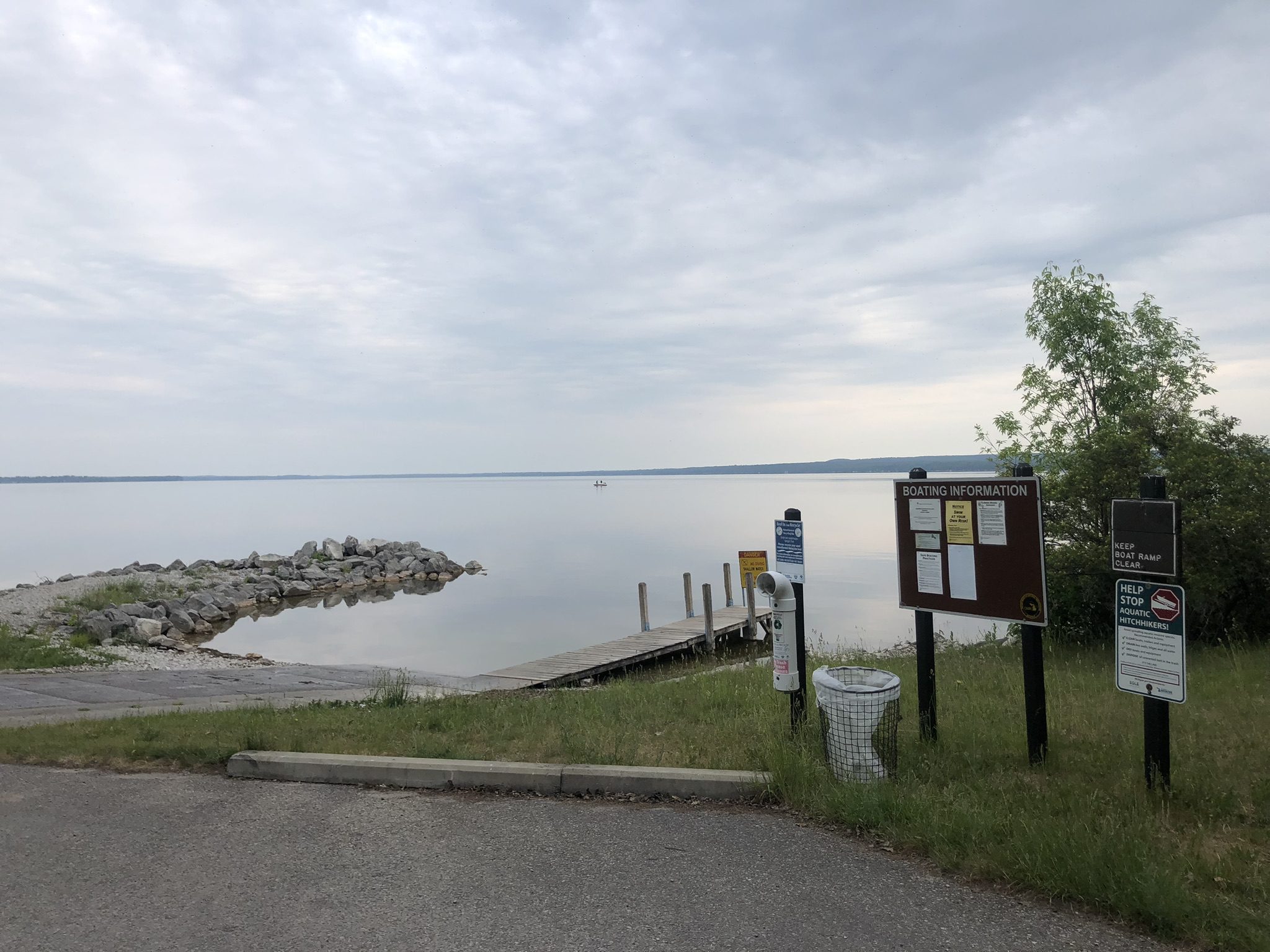
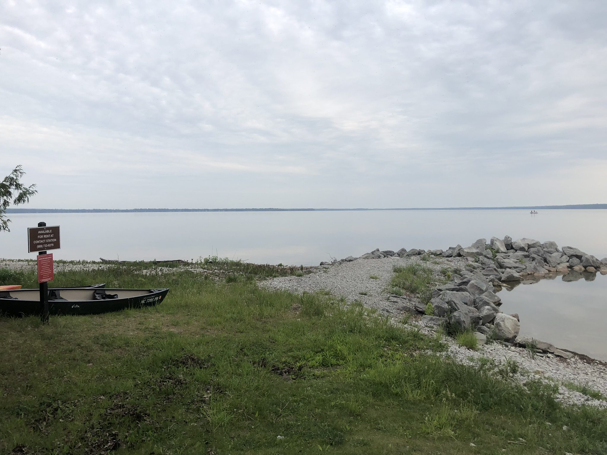
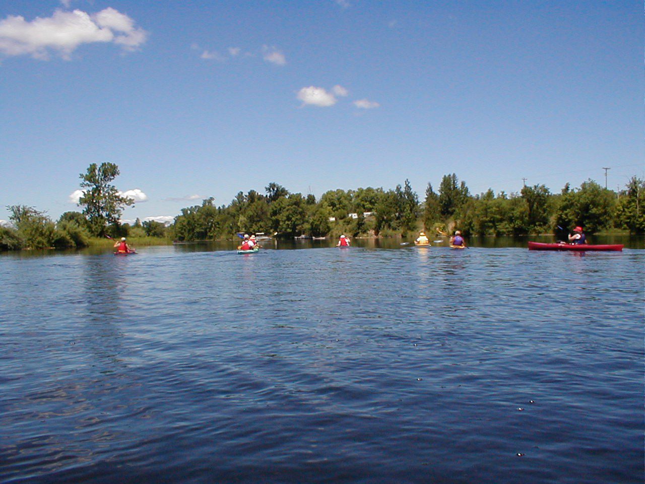
Recreational access to Black Lake is available to the public at MDNR boat launches located at Onaway State Park on the southern shore and Black Lake Forest Recreation Area in the northeast corner of the lake. Black Lake is renowned for its thriving lake sturgeon fishery. The Black Lake Association has invested considerable time and resources to improve the lake’s walleye fishery. One factor affecting the fishery and lake ecosystem in general is the presence of invasive zebra mussels. These invasive mussels disrupt the natural nutrient cycle and food chain dynamics, which results in a loss of primary productivity (planktonic algae) and consequently, leads to reductions in top predator populations, such as walleye and trout.

Monitoring and Research:

Black Lake is monitored every three years through the Watershed Council’s Comprehensive Water Quality Monitoring (CWQM) Program for dissolved oxygen, specific conductivity, pH, nitrate-nitrogen, total nitrogen, total phosphorus, and chloride levels.

Water transparency, chlorophyll-a, and water temperature are also monitored in Black Lake each summer by volunteers as part of the Watershed Council’s Volunteer Lake Monitoring (VLM) Program.

Black Lake Association
The Black Lake Association was founded in 1928 by a group of volunteers focused on maintaining the quality of the lake and surrounding watershed, providing recreational opportunities and to communicate information of interest to its members.
PO Box 302, Onaway, Michigan, 49765
Black Lake Preservation Society
Our sole MISSION is to protect and preserve the ecology of Black Lake, its tributaries and watershed through advocacy and program development; and to operate in a transparent, professional and neighborly manner.
2014 N Saginaw Rd Box 260, Midland, Michigan, 48640
Sturgeon for Tomorrow
The purposes of Sturgeon For Tomorrow, Inc. (SFT) are to assist fisheries managers in the rehabilitation of the Lake Sturgeon, to advance education, to further other charitable, educational and scientific objectives, to engage in and facilitate scientific research furtherance of such purposes, and SFT, Inc. shall be empowered to engage in such other and further means necessary and proper to accomplish the foregoing objects and purposes.
1604 N. Black River Road, Cheboygan, Michigan, 49721
2316252776

Additional Resources:

See additional resources on our Aquavist page.

View an interactive map of Black Lake, including public access sites on Michigan Fishweb.

Information about Threatened, Endangered, and Special Concern species in this lake’s watershed is available on the Michigan Natural Features Inventory (MNFI) website.v

TitleCategoriesLinkhf:doc_categories
Comprehensive Water Quality Monitoring (CWQM)Bass Lake, Beals Lake, Bear River, Ben-Way Lake, Birch Lake, Black Lake, Black Lake Watershed, Black River, Boyne River, Burt Lake, Burt Lake Watershed, Carp River Watershed, Cheboygan River, Cheboygan River Watershed, Clam Lake, Crooked Lake, Crooked River, Deer Lake, Douglas Lake, Duncan-Grass Bay Watershed, Elk Lake, Elk River, Elk River Chain Of Lakes, Elk River Chain of Lakes Watershed, Ellsworth Lake, Grand Traverse Bay Watershed, Hanley Lake, Huffman Lake, Intermediate Lake, Lake Bellaire, Lake Charlevoix, Lake Charlevoix Watershed, Lancaster Lake, Larks Lake, Little Traverse Bay Watershed, Long Lake, Marion Lake, Mud Lake, Mullett Lake, Mullett Lake Watershed, Munro Lake, Nowland Lake, Paradise Lake, Pickerel-Crooked Lakes Watershed, Round Lake, Scotts Lake, Silver Lake, Six Mile Lake, Skegemog Lake, Spring Lake, St. Clair Lake, Susan Lake, Thayer Lake, Thumb Lake, Torch Lake, Twin Lake, Walloon Lake, Walloon Lake Watershed, Wildwood Lake, Wilson Lakebass-lake beals-lake bear-river ben-way-lake birch-lake black-lake black-lake-watershed black-river boyne-river burt burt-lake-watershed carp-river-watershed cheboygan-river-rivers-streams cheboygan-river-watershed clam-lake crooked-lake crooked-river deer-lake douglas-lake duncan-grass-bay-watershed elk-lake elk-river elk-river-chain-of-lakes elk-river-chain-of-lakes-watershed ellsworth-lake grand-traverse-bay-watershed hanley-lake huffman-lake intermediate-lake lake-bellaire lake-charlevoix lake-charlevoix-watershed lancaster-lake larks-lake little-traverse-bay-watershed long-lake marion-lake mud-lake mullett-lake mullett-lake-watershed munro-lake nowland-lake paradise-lake pickerel-crooked-lakes-watershed round-lake scotts-lake silver-lake six-mile-lake skegemog-lake spring-lake st-clair-lake susan-lake thayer-lake thumb-lake torch-lake twin-lake walloon-lake walloon-lake-watershed wildwood-lake wilson-lake inland-lakes rivers-streams watersheds
2018 Black Lake Tributary StudyBlack Lakeblack-lake inland-lakes
2017 Black Lake Shoreline SurveyBlack Lake, Shoreline Surveysblack-lake shoreline-surveys inland-lakes
2014 Black Lake Aquatic Plant SurveyAquatic Plant Surveys, Black Lakeaquatic-plant-surveys black-lake inland-lakes

Shoreline Survey:

Black Lake Shoreline Survey 2017

Project Summary During the summer of 2017, the Black Lake Association (BLA) contracted with Tip of the Mitt Watershed Council to conduct a shoreline survey of Black Lake. The survey was designed to replicate and add parameters not reported in a similar 2005 survey. Conditions that can impactwater quality were

View GIS Map »

Media Gallery: